Resources of the Capitoline Superintendence of Cultural Heritage of Roma Capitale
SIMARTWEB
The Simartweb is the portal in which the informative patrimony of the SIMART*, is made accessible to the large public.
This is the Informative System realized from the Capitoline Superintendence for Cultural Heritage for the cataloging and the management of the cultural patrimony, monumental and territorial pertaining to Rome Capital.
The SIMART contains the documentation of archives, museums, collections, monuments and archaeological areas, and includes almost a million files including recording sheets, images, bibliographic and archive references, biographies of the authors, exhibitions, acquisitions and donations.
In real time, the Simartweb draws its data from SIMART, presenting them in an easy and web-oriented way.
The number of items published on Simartweb grows as the activity of revision of the sheets for online spreading proceeds.
The progressive publication of the varied amount of data will allow the public to explore the Roman cultural heritage in an ever wider way. This can be done using special search tools: full text, by dynamic filters on key fields as well as directly on map.
In addition, each card, in its various levels of display and detail, is accompanied by links that return all the goods attributable to the same author or object, category, container or collection.
Every sheet, in its various levels of display and detail, is accompanied by links that return all the items attributable to the same author or object, category, container or collection.
In order to facilitate an integrated reading of the heritage and to invite for further study the section “Rome from A to Z” has been prepared.
Inside it a series of thematic items illustrate particular historical, artistic and archaeological aspects of the Eternal City starting from the sheets published on Simartweb.
FORMA ROMAE
FORMA ROMAE is the Information System on the Historical, Archaeological and Architectural Heritage of Rome. The project, curated and carried out by the Capitoline Superintendence, was financed with EU funds from the National Operational Programme Metropolitan Cities (PON Metro). An ambitious project, unique in Italy, that could only be born from the extraordinary wealth and diversification of the Roman cultural heritage.
FORMA ROMAE allows to:
- direct access to information on the historical, archaeological, monumental and landscape present on the territory and to the consultation of data on the building and urban transformations of the city. The information – accessible with various levels of depth – will allow users to immediately evaluate the archaeological pre-existing underground in a given area, the history of a territory or the construction phases of a building, the existing underground cavities and their degree of danger, the state of conservation of a monument, etc.
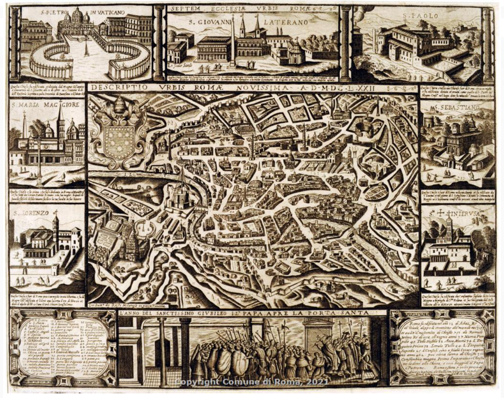
- direct interrogation of the diachronic levels of the vector maps of the city, from the Forma Urbis marmorea (the plan of Rome of the third century AD), to the subsequent cartography (Catasto Alessandrino, plans of Rome, Catasto Gregoriano urbano e suburbano, IGM) up to the current digital cartographies and related scientific and descriptive data sheets with images
- direct consultation of the historical documentation present in the funds of the Archivio Capitolino and the Archivio di Stato, digitized, connected and organized “geographically”, without worries for the conservation of more precious or perishable materials.
- production of open data and open geodata sets.
Resources within Roma Capitale
NIC – Roma Capitale Geoportal
The geographic data search service in Rome is aimed at Capitoline employees, users, other public administrations, stakeholders, city users and allows better usability, sharing, access and processing of geographical information, using the most innovative ICT technologies. In line with the indications contained in the National Repertoire of Spatial Data, the NIC (Territorial Geographic System – Roma Capitale Geoportal) is starting to undertake a path of renewal to meet the needs of users, allow a deeper knowledge of the territory and to respond to the need for geographical representation of data specifications.